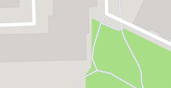
The hill is 242 meters above sea level and is surrounded by two rivers. It is one of the measuring points included in the so-called Struve Meridian, inscribed on the UNESCO World Heritage List. It is also one of 27 areas in the country officially recognized as a national landscape.
Less
Attractions inside
"Aavasaksa" Struve Geodetic Arc
map


"Aavasaksa" Struve Geodetic Arc – popular in the area
(distance from the attraction)


